
Midland ZIP Code Coverage
Midland's postal destinations extend beyond the municipal boundary. The list below combines the official Michigan ZIP map, postal destination lists, and USPS tools. It is a working coverage guide, not a promise that every address in a row uses the same city service or route. Use the USPS address tool for a particular street because a city-and-state search can return more than one destination.
| ZIP | Areas Covered | Post Office | Notes |
|---|---|---|---|
| 48640 | Midland city core and general postal Midland | Main Midland Post Office, identified in USPS location materials at 2900 Rodd St | General Midland destination; confirm the individual address |
| 48641 | Midland postal designation in older and current postal lists | Current service area not located in official sources | Do not treat the postal label as a city-limit line |
| 48642 | Midland auxiliary or general destination, including realignment assignments | Current station assignment not located in official sources | Verify by full address in USPS |
| 48657 | Sanford and Midland County area | Sanford postal area | May be a county destination rather than City of Midland |
| 48667 | Midland postal destination in historical lists | Current route or classification not located in official sources | Postal destination history needs an address check |
| 48670 | Midland postal destination, including possible county addresses outside the city | Current office or service area not located in official sources | Not a ward, parcel, or municipal boundary |
| 48674 | Midland postal destination in historical lists | Current route or office not located in official sources | Confirm current use with USPS |
| 48686 | Midland postal destination in historical lists | Current route or office not located in official sources | Do not assume a unique or post-office-box classification |
The table identifies the destination set documented for Midland, not a list of residents. Current post-office, route, post-office-box, and unique-use classifications were not located for several entries. That is why a postal result should be checked at the address level before it is used to guide a parcel, court, or historical-record search.
Midland Postal Destinations
The city/core designation is 48640, while 48641 and 48642 appear in Midland postal lists as well. Sanford's 48657 is a useful reminder that a Midland County address and a City of Midland address are not interchangeable. The historical list also identifies 48667, 48670, 48674, and 48686 as Midland destinations, but the current route and service details for those entries were not found in official sources.
For a specific person or property question, a ZIP narrows the geography only. It does not establish an occupant, an owner, a voting precinct, or a legal description. Start with the postal destination, then move to the address, parcel, or office record that actually contains the relevant fact.
Midland 2017 Postal Shift
A 2017 USPS Postal Bulletin realignment records a change from Midland 48640 to new Midland 48641, and changes from Midland 48640 to new Midland 48642 for 48667, 48670, and 48674. This is postal-destination history. It does not show that a city border, parcel, ward, or property line moved in the same year.
That distinction matters when comparing an older directory, deed, permit, or correspondence address with a current search. Keep the original postal designation in your notes, validate the modern full address, and use the legal description or parcel number to bridge a property record across a changed postal label.
Note: Date-stamp a postal result, because destination assignments can change without changing the municipal boundary.
Find Midland Residents by ZIP
A postal area is a starting point for location research, not a ZIP-wide resident roll. The county's BS&A description confirms last-name, parcel-number, and address searches, but a ZIP or advanced filter was not inspected in the live interface. FetchGIS is described as a spatial parcel map, not a postal roster. Michigan's voter request form scopes a request by county, jurisdiction, ward, precinct, and districts, not explicitly by ZIP.
- Enter the full street address in USPS and record the returned postal destination. If city and state produce several results, use the full address instead.
- Search the published property source by address, parcel number, or last name. Compare the situs, mailing address, and legal-description clues without treating them as proof of occupancy.
- Use FetchGIS or a city district source to check parcel and public-map context. Postal boundaries do not substitute for ward, precinct, or parcel boundaries.
- When the area is narrow enough to require a street-level record trail, continue with the Midland street address directory rather than assuming a ZIP produces a household list.
Deeds are keyed to legal descriptions, permits are keyed to project addresses, and historical directories are keyed to streets and addresses. Each needs a more precise key than the postal area alone.
Midland USPS Address Fields
The official USPS ZIP Lookup has three useful modes. By Address is the best choice for validating a Midland street. By City and State returns destinations for a postal city. Cities by ZIP Code lists associated cities for an entered ZIP. USPS warns that a result does not confirm a person or company at the address.
| USPS address field or tab | Use and documented requirement |
|---|---|
| Company | Optional text field on the By Address tab |
| Street Address | Required in By Address; use the standardized full address when available |
| Apt/Suite/Other | Optional address detail |
| City and State | Required in By Address; state is a dropdown |
| Postal destination | Optional in address mode; required for Cities by ZIP Code |
| Find | Documented action button |
The USPS lookup screen below shows the source used for this field inventory.
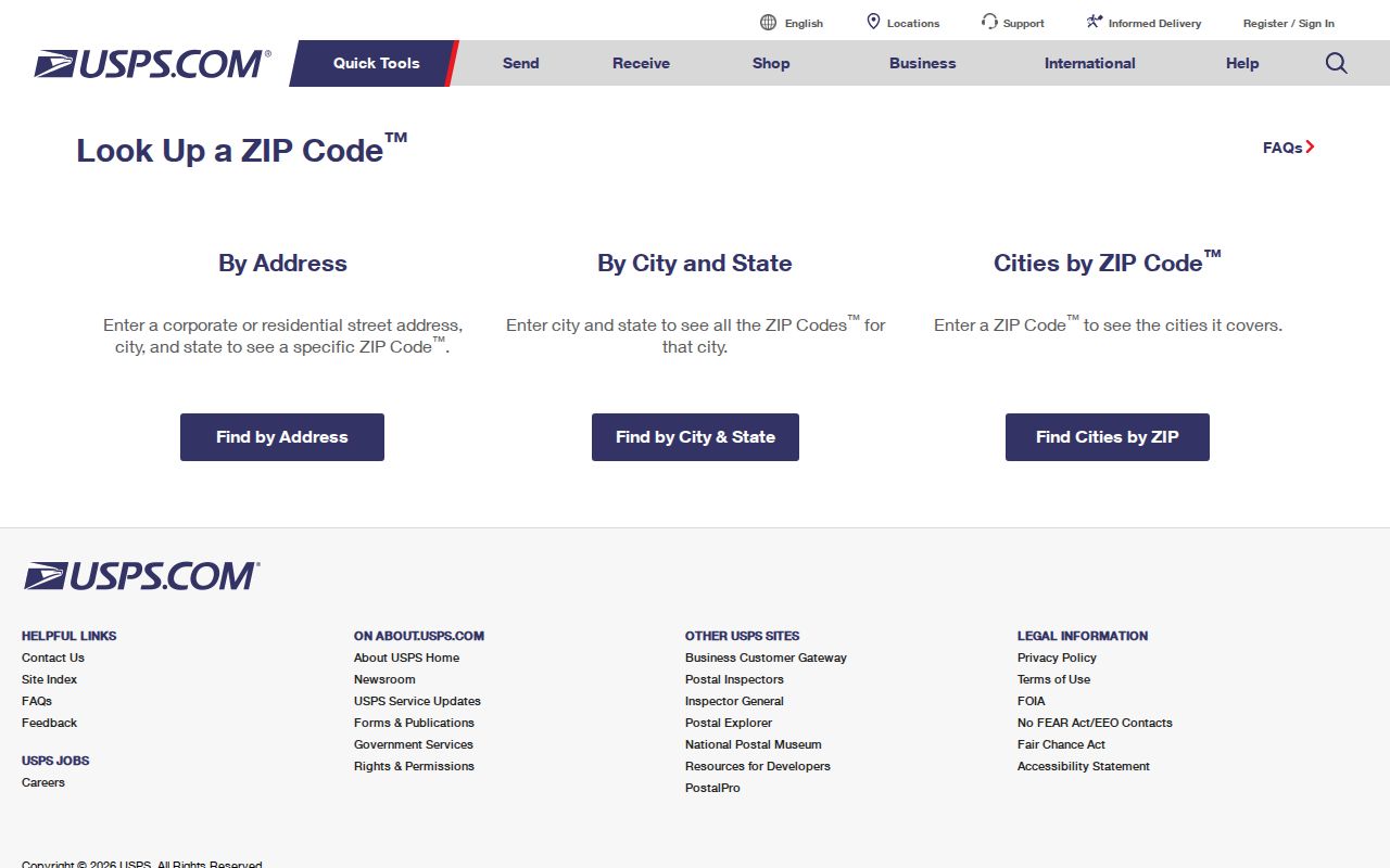
Use the returned destination to normalize an address, then confirm person, ownership, or record details only through the appropriate custodian.
Midland Parcels and ZIPs
Postal routing and property records use different keys. Midland County assigns house numbers for police, fire, EMS, postal officials, and residents. The county says applications are usually processed in under five business days and cost $75 per assigned address. That operational address should be secured before the listed building, well, water, septic, driveway, and electric permits, yet a deed still relies on the legal description.
A county parcel number may look like 14-12-50-011. The City of Midland BS&A conversion example changes that to 180-141-250-011-00. Verify the municipality's format before entering it. A subdivision lot and block, plat, or metes-and-bounds description is the durable link when a street number or postal designation differs across records.
Review the Midland County house-number assignment information before relying on a street number in a postal or parcel search.
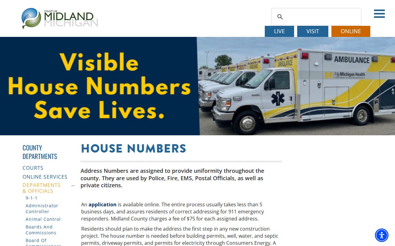
The county assignment process explains why an emergency-response address and a legal-description search must be compared rather than treated as the same record key.
Midland ZIP Code Limits
A Midland mailing label can appear outside city limits, and a city address can use another postal destination. Postal geography does not set city council wards, precincts, tax jurisdiction, parcel lines, or city services. Check the address in the relevant city or county source before drawing a conclusion about which government record keeper applies.
City ward and precinct data can change independently of postal assignments. Midland's city map materials note ward changes in January 2022 and precinct changes in December 2023. An address lookup, not a ZIP-only search, is the right way to connect a postal address to that civic information.
Midland Ward and Precinct
The City of Midland election map is an address-oriented public source for ward, council representative, and polling-place context. It illustrates why a postal area cannot stand in for a civic district. Use the map after validating the address, then verify the result with the city clerk or current election source if the district matters.
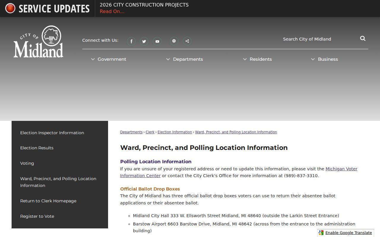
Ward and precinct lines provide civic context for an address, while the USPS result provides postal routing. The two systems answer different questions.
Note: Use a current address check for district information, because city map realignments and postal changes follow separate schedules.
Midland Postal Match Limits
A returned destination says that USPS recognizes the address format for mail delivery. It does not confirm that a person or company is there. Likewise, a property record may publish an owner or tax mailing address but not residents or occupants. Keep postal validation, parcel research, voter information, court results, and historical directories in their own lanes until compatible dates and identifiers support a conclusion.
Practical check. When a Midland address appears with an unexpected postal label, preserve the original source, validate the full address with USPS, and compare the parcel's legal description before deciding that it is the same place.
Midland ZIP Code Terms
Postal terms are useful only when their limits are clear. USPS validates a delivery address, while the county and city keep the governmental records tied to parcels, permits, or districts. These definitions make it easier to choose the right next source.
- ZIP versus ZIP+4
- The five-digit destination organizes postal routing. The added four digits narrow delivery sorting for a more specific address segment.
- Post-office-box ZIP
- A destination used for post-office boxes rather than a general street-delivery area. Current classifications for several Midland entries were not located and should be confirmed with USPS.
- Unique ZIP
- A postal destination assigned to one organization or large addressee. Do not assume that any Midland entry has this status without current USPS confirmation.
- Carrier route
- A mail-delivery grouping within a destination. It is a postal routing tool, not a city ward or parcel boundary.