
Midland Neighbors and Block Sources
Public sources reveal parts of a Midland block, not a private household list. The useful order is parcel geometry, official owner or tax fields, limited voter information, and historical address evidence. Each source has a different purpose and access path. A parcel polygon tells where a property sits. A deed or tax record can identify a recorded owner. A civic map can show a ward or district. None of those records alone establishes who is currently present at every nearby address.
| Block source | What it shows near an address | Access and limit |
|---|---|---|
| FetchGIS | Target and adjoining parcel polygons with available public layers | County interactive map; exact live measure and export controls were not captured |
| BS&A property and tax information | Parcel, situs and mailing fields, owner or taxpayer clues, tax and sales context | Search by last name, parcel, or address; owner field is not every-occupant proof |
| Register of Deeds | Transfers, legal descriptions, recorded parties, and document references | Fidlar channels, office index, books, and microfilm |
| MVIC and QVF request route | Individual registration or polling information; some permitted geographic request scopes | MVIC is not a public block roster; protected fields remain withheld |
| City map and council material | Ward, precinct, street, zoning, floodplain, district, and historic context | Public map sources; current civic geography is not historical household proof |
| Local historical sources | Older street, directory, newspaper, and community context | Library and historical collections; dates and abbreviations require cross-checking |
Midland neighbors may be adjacent in space while their records point to different custodians. Keep the source, date, and exact field next to every note.
Locate Midland Neighbors in FetchGIS
Midland County GIS directs parcel research to the FetchGIS workspace. Begin with a standardized street address. If an address is new or rural, Midland County house-numbering and GIS information can help normalize it. Locate the target parcel, select its information popup, and note any parcel ID or linked property information. Then zoom only one parcel-width around it. The map is useful because it displays the spatial relationship between parcels before names or title records are compared.
The public county map supports a parcel-centered approach. Its documented controls and layers should not be read as a promise of a radius search, buffer, or downloadable neighbor list, because those live controls were not captured in the official research.
Read Midland Block Sides Carefully
Use the immediate block rather than a vague radius. Midland’s adjacent-parcel method starts at one address, then checks the parcel on each side, those across the street, and those behind the target when boundaries meet. The point is to identify official land records that touch the block. A parcel owner may use another mailing address and may not be the person living at the property, so record the field label before drawing any conclusion about Midland neighbors.
- Normalize the target address with USPS, then use county house-numbering or GIS when the street is new or uncertain.
- Open FetchGIS, select the target parcel, and save its parcel identifier and legal-description clue where available.
- Click polygons on both sides, across the street, and behind the parcel. Compare boundaries rather than estimating from a road label.
- Run each parcel through BS&A to separate its situs address, tax mailing address, and owner or taxpayer clue.
- Use the deed index only when a title-history question remains. For a full named-street record chain, use the Midland street directory.
This process moves from address to parcel, adjacent parcels, assessment fields, and, when justified, the recorded deed chain. It is a block map method, not a way to infer a household roster.
Compare Midland Neighbor Owner Fields
BS&A and related county property resources distinguish a physical parcel from a tax-correspondence destination. The situs address is the property’s physical location. A mailing address may belong to a representative, business, or another residence. The legal description, such as a subdivision lot, block, plat, or metes-and-bounds description, is the durable deed key. In Midland, a county parcel number can also require the documented City of Midland conversion for BS&A entry, so verify the format before a search.
For a title question, move from the property owner to the Register of Deeds grantor-grantee index and verify the deed by legal description, recording reference, and instrument type. County material describes records from 1855 forward, with modern and older index layers plus office books and microfilm. Recorded title identifies a property transaction. It does not establish all people present at an address.
Note: A matching name or mailing address is only a record clue, so retain the parcel number and legal description with the source that supplied it.
Place Midland Neighbors in Civic Geography
Public civic maps give a block useful context without naming private households. The Midland City Council directs an address search to its map, where Address Points can identify a council ward. The city map gallery adds streets, zoning, floodplain, future land use, refuse, council wards, and West Main Street Historic District material. Wards changed in January 2022 and precincts changed in December 2023, so a current result must not be projected backward onto an old directory or census entry.
The City Council source is shown below. It supports a civic-boundary check that complements parcel work; it does not provide a neighbor directory.
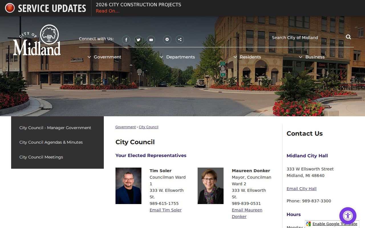
Use the ward or precinct as public context for an address, then return to parcel and official-record sources for property questions.
Midland Neighbor Civic Contacts
Midland has public offices and civic districts that can clarify an address, a ward, or a missing municipal record. They are not membership lists. The research found no official umbrella directory of neighborhood associations or HOA members. Midtown Neighborhood Association is named in an official city release, while public member or contact directories were not located. Neighborhood Watch is a police community-relations program, not a household directory. The table keeps those boundaries clear.
| Office or civic resource | Supported contact or public role | Block-research limit |
|---|---|---|
| City Clerk | 333 W Ellsworth St, 989-837-3310, Monday through Friday 8 a.m. to 5 p.m.; records management, elections, permits, and city FOIA links | No public all-records index was located |
| City Council and address map | Council map identifies ward and representative by address | Shows civic geography, not a household list |
| City map gallery / GIS contact | Tyler Homrich, 333 W Ellsworth St, 989-837-3363; map gallery supplies public layers | Layer availability varies by map |
| Neighborhood Watch | Police Community Relations program, 989-839-4777 | Not a roster or member directory |
| Center City Authority and Downtown Development Authority | Public district and board context through city department material | Public member directories were not located |
These contacts help a researcher choose the proper custodian, rather than turning civic programs into a source of household information.
Compare Midland Neighbor Sources
Official records and commercial neighbor tools serve different purposes. County and city sources identify their custodian, record type, and access route. Commercial compiled listings can be convenient, but they may combine records with different dates and may not state how a result was matched. For a Midland neighbors question tied to an address, use an official parcel, map, deed, city, or election source as the starting point and record what that source actually says.
| Question | Official custodial record | Commercial compiled category |
|---|---|---|
| Where is the parcel? | FetchGIS parcel map and public layers | May simplify a map without showing authoritative boundaries |
| Who holds recorded title? | Register of Deeds deed and legal description | May lag a recorded transfer or mix title and mailing fields |
| What tax field is attached? | BS&A property and tax information | May not state the custodian or update date |
| Which ward applies? | City Council map and city map gallery | May not reflect ward or precinct changes |
Use the commercial category, if at all, only as a prompt to check the relevant custodian. It should not replace a parcel, deed, or civic record.
Historic Midland Neighbors by Address
Older blocks require older sources. Midland’s 1929 directory is a useful street and address snapshot, and Grace A. Dow Memorial Library holds local-history and genealogy material, city directories, newspapers on microfilm, and related reference collections. The Midland County Historical Society’s Digital Archives and research-by-email route can add organization and place context. Use an address entry as historical evidence, then compare it to the directory date, a deed transfer, a newspaper notice, or a census record rather than treating it as a current record.
Street forms matter in Midland. Historical entries may use Ashmn. for Ashman, Ellis for Ellsworth, Butt for Buttles, Eastmn. for Eastman Road, Posey for Poseyville Road, or Tittab. for Tittabawassee. Test both the abbreviated and current form, especially when an address cannot be found under the modern spelling. The city’s historic-district and plat maps can help bridge a lot and block to a modern address.
Midland Neighbors Privacy Boundary
Public voter tools do not disclose phone numbers, email, month and day of birth, driver-license or state-ID numbers, signatures, or Address Confidentiality Program information. MVIC is an individual lookup and polling-place tool, not a public block roster. The Michigan Address Confidentiality Program, under 2020 PA 301, provides a designated address for qualifying participants and protects the actual address from ordinary lookup. Motor-vehicle information is restricted under the Driver’s Privacy Protection Act and Michigan MCL 257.208c.
Midland Neighbor Records by FOIA
When an address record is not online, ask the keeper for the narrow record needed. The City Clerk links city FOIA material and coordinates records management. The Building Department can address permit files, although the research did not locate a searchable public permit-history portal. Midland County’s FOIA portal handles county requests. State and local exemptions still apply, including the city’s protection for the identity of a code-complaint source.
The Midland County Sheriff page is shown below as a county records and jail-link source. It is not a neighbor list and should not be treated as a way to identify a block’s households.
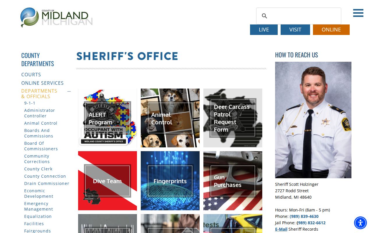
A focused request names the address, approximate date, record type, and known parcel or document reference, while respecting exemptions and privacy limits.
Midland Property Alert Research Gap
A county-linked Property Fraud Alert signup was identified in the research, and the captured screen appears below. The source set did not verify the enrollment fields, alert delivery, coverage, or whether the service is county-sponsored. Treat it as an unverified research gap, not as a confirmed protection or a source of neighbor information. For a recorded-document concern, verify the document directly with the Register of Deeds.
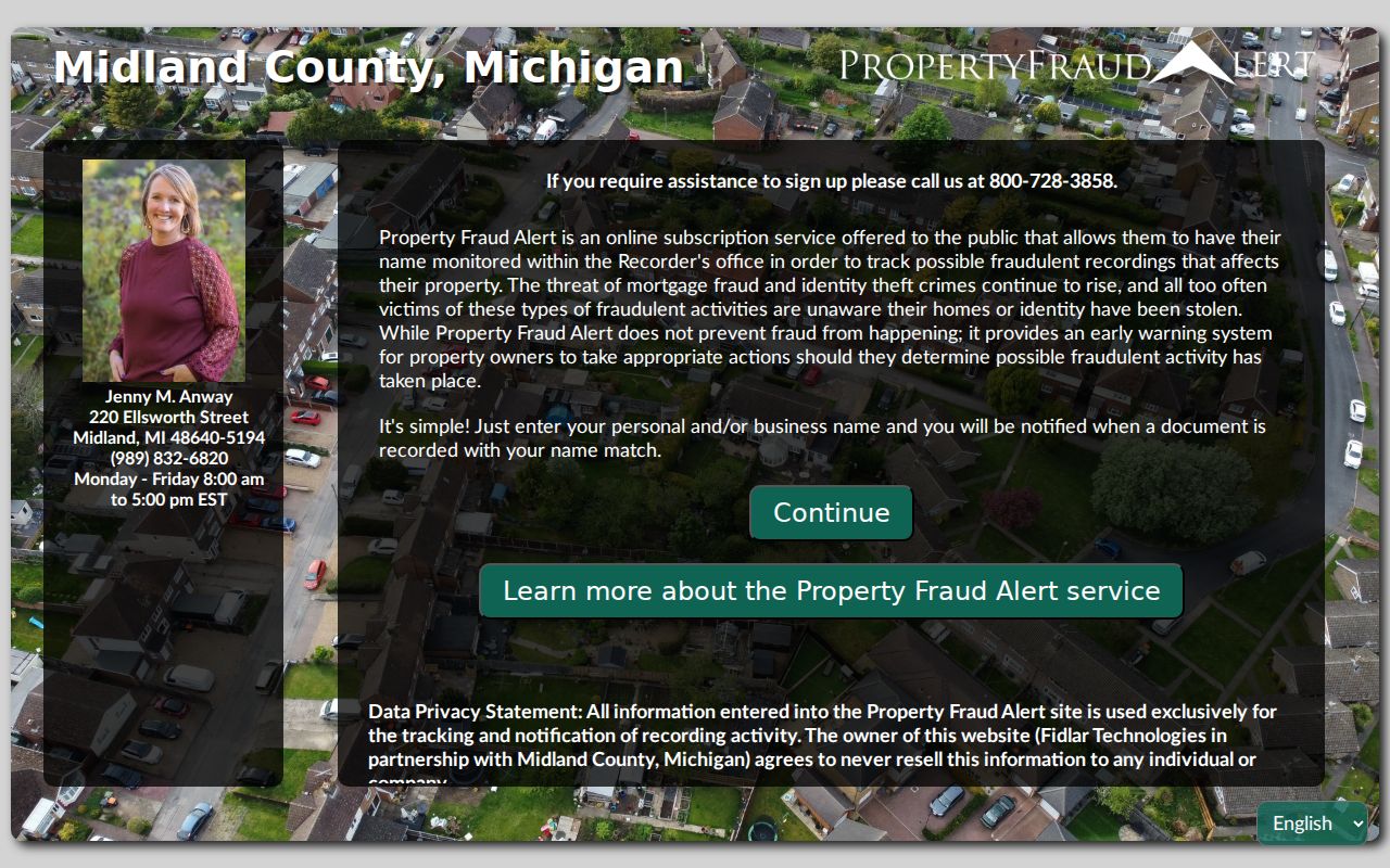
The image documents the captured destination only; its program details need confirmation from the relevant custodian before reliance.
Note: A concern about a deed or a mailer calls for independent verification with the Register of Deeds, not a conclusion based on an unverified signup screen.