
Search Midland Streets by Address
A street-by-street search works best as a chain. Midland County’s property resources tie an address to a parcel, while the Register of Deeds ties a parcel’s legal description to recorded transfers. Those records identify property interests, not a complete list of people at an address. Use a voter lookup only for its limited individual registration and polling information, then turn to historical directories when the question concerns an earlier household. This order avoids confusing an owner, a tax mailing recipient, and a resident.
- Enter the address in the county property search and copy the parcel number, situs address, owner or taxpayer field, mailing address, and legal description.
- Open the same location in FetchGIS and inspect the parcel’s position on the street. Note adjoining parcel boundaries without assuming the names on those parcels identify every occupant.
- Use the current owner as a grantee in the land-record index. Confirm the deed with its legal description, recording reference, and document type.
- Search the seller as a grantee to move one transfer backward. Repeat only when the legal description and parcel boundaries still match.
- Use Michigan Voter Information Center for an individual registration or polling-place check, then consult library directory holdings for older address snapshots.
The sequence is deliberately narrow: address to parcel, parcel to title, and title to an earlier owner. It leaves room for records that use a different key.
Midland Street Directory Field Guide
The county directs property and tax searches to BS&A by last name, parcel number, or address. For a Midland street directory search, the address is the practical first key. A last-name search can reveal whether the tax mailing address differs from the property address. The parcel number is the best check when a name appears on more than one property. Midland’s city example also shows why copying a number carefully matters: a county-style number can be converted for BS&A by adding the documented city prefix and suffix.
The Treasurer’s property-tax guidance is shown below. It documents the county route to BS&A; the live vendor interface was not available to the research capture, so unverified screen labels are not treated as promises.
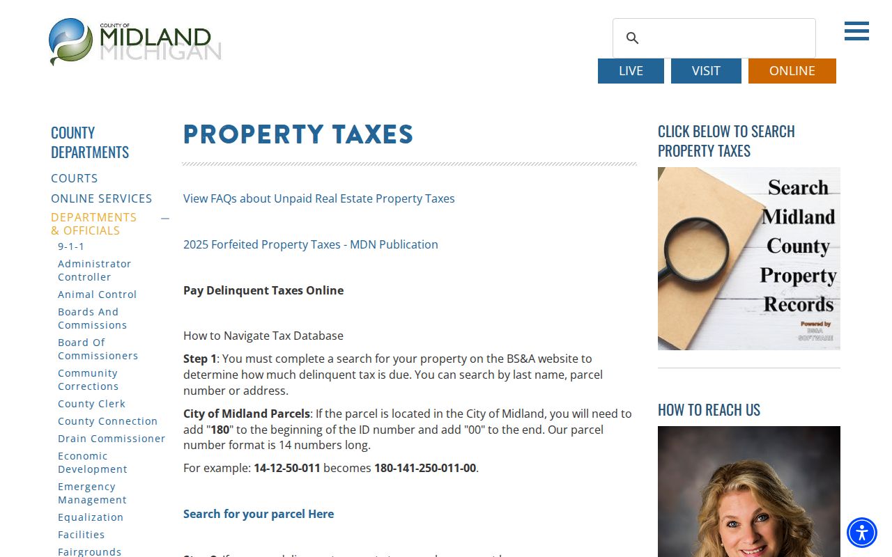
Use the official search keys first, then save the parcel number and legal description for the land-record step.
| BS&A field | Format | Use on a Midland street search |
|---|---|---|
| Last Name | Optional text | Checks an owner or taxpayer name after an address result. |
| Parcel Number | Optional text | Separates similarly named properties; the city example is 180-141-250-011-00. |
| Address | Optional text | Starts a situs-address search; street-number behavior was not captured. |
| Municipality | Possible filter | City and township data may be separated; live filter details were not verified. |
| ZIP and tax filters | Possible advanced controls | Do not rely on them for a whole-street export because the live controls were not inspected. |
Note: County Equalization cautions that municipal information can be more current than county summaries, so compare a result with the local assessor when needed.
View Midland Street Parcels in FetchGIS
Midland County GIS links to FetchGIS, the county’s interactive parcel and map workspace. Search or zoom to a street segment, select the target polygon or parcel point, and record the parcel identifier or property link where it appears. Then pan along the segment and select adjoining polygons. The public map adds physical context, including available parcel, aerial, property, tax, and other layers, but it is not a voter list or a household roster.
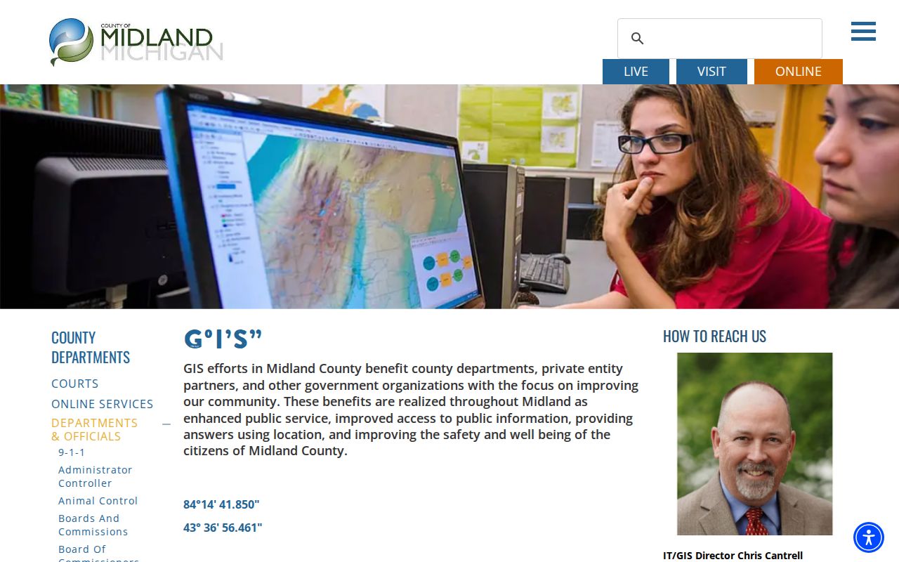
The viewer helps place each record on the ground; BS&A supplies tax and address details, and the deed index supplies title history.
| FetchGIS control | Form | Documented street use |
|---|---|---|
| Map search or address | Map-search text | Find a street segment; the exact live label was not exposed. |
| Parcel click or select | Map interaction | Open property or map information where a parcel is linked. |
| Layer selector | Map control | Switch among county GIS, parcel, aerial, property, tax, and other available public layers. |
| Zoom and pan | Map controls | Browse the segment and adjoining parcel polygons. |
| Identify, export, or reset | Dynamic controls | Exact button labels and export limits were not located in official sources. |
FetchGIS controls change dynamically. The official material supports parcel selection, layers, and street browsing, but it does not document a public buffer, radius, export, or street-wide household feature. The city’s map gallery is a useful alternative when a ward, floodplain, zoning, future-land-use, refuse, or West Main Street Historic District layer answers the location question.
Midland Street Directory Address Fields
Keep four labels distinct in a Midland street directory note. The situs address is the physical parcel location used by local maps and emergency addressing. The tax mailing address is where correspondence goes, and it may belong to a representative, business, or another residence. A deed’s legal description identifies land through a subdivision, lot, block, plat, or metes and bounds. A voter residential address is a separate election record. One matching field is a lead, not proof that all four describe the same person or place.
- Parcel
- A numbered piece of property used for assessment and map records.
- Situs address
- The physical location assigned to the parcel, rather than a mailing destination.
- Plat
- A recorded subdivision map that connects lots and blocks with a legal description.
- Criss-cross directory
- A historical address-first directory used to find an entry by street and number.
Midland County’s house-numbering program assigns uniform numbers for police, fire, emergency medical, postal, and public use. That purpose explains why a street number is vital for locating a parcel, yet a legal description remains the durable title key when an older document lacks the modern address.
Read Midland Parcel Keys
A parcel key is often the bridge between a modern street number and an older record. Midland County gives a conversion example in which county parcel 14-12-50-011 becomes 180-141-250-011-00 in the City of Midland BS&A format. Verify the municipality’s format before entering it. If an early deed does not use the current street address, match its subdivision, lot, block, or plat against the Equalization maps and the recorded plat.
County Equalization resources include property and tax information, property sales, current and historic tax maps, subdivisions, and GIS material. These sources are especially useful when a street name is abbreviated in an older directory. Midland directory variants include Ashman and Ashmn., Ellsworth and Ellis, Buttles and Butt, Eastman Road and Eastmn., Poseyville Road and Posey, and Tittabawassee and Tittab. Search both forms rather than assuming one spelling covers every era.
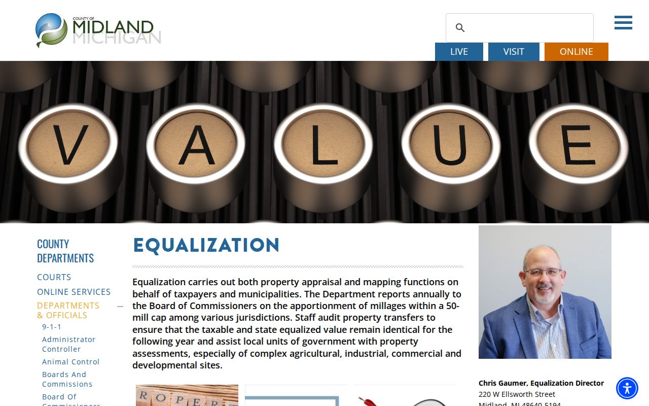
Historic tax maps and subdivision material can connect a parcel key to the older street form used in a directory or deed.
Trace Midland Deeds by Street
The Midland County Register of Deeds provides the long property trail. County material describes records from 1855 forward, a computer index from 1968 forward, a 1958 to 1968 Adobe index, pre-1958 Simple Search, and books or microfilm for earlier material. Online images reach roughly 1950 according to the FAQ, while the county advises users to confirm the current cutoff after its Fidlar technology change.
The record trail depends on names and legal descriptions, not only a street address.
Search the current owner as grantee to find the acquisition. The seller shown there becomes the next grantee search when moving backward. Compare the grantor, grantee, instrument type, recording year, liber or book and page, document reference, and legal description at every turn. The office’s public-record route includes Tapestry EON and Laredo Anywhere or Fidlar, then its in-office index, books, and microfilm if the online layers stop. Recorded-document copies are listed at $1 per page, with certification at $5 plus the page fee.
Midland Street Permit Map Evidence
A permit can add a dated address record, but it is not a complete resident list. The City of Midland Building Department’s application asks for the project address, owner, contractor or architect, project value, description, and construction details. Keep those roles separate when comparing a permit with a parcel or deed. The research did not locate a searchable public permit-history portal or code-case lookup, so the documented fallback is a department inquiry or a city FOIA request. The identity of a code-complaint source is treated as exempt by the city.
Midland Building Department permit information appears below. It supports an address-specific request path rather than a claim that permit files can be searched as a broad directory.
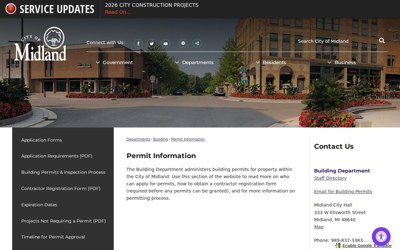
For a missing municipal file, retain the project address and date, then ask the department or the city records office for the available record.
Midland Street Directory Record Coverage
Address-keyed Midland records answer different questions. The following coverage chart distinguishes ownership, map context, registration clues, and historical entries, so a street directory search does not stretch one source beyond what it can establish. Use each record’s own access route when the online display is incomplete.
| Address record | Custodian | Street-level evidence | Access channel |
|---|---|---|---|
| Property and tax information | County Treasurer and Equalization | Owner or taxpayer clues, situs and mailing fields, parcel, tax and sales context | BS&A by last name, parcel, or address; local assessor or counter for gaps |
| Parcel and public layers | County GIS | Parcel polygons, neighboring land, and available map layers | FetchGIS and county GIS resources |
| Deeds, plats, and liens | Register of Deeds | Transfers, legal descriptions, parties, and recording references | Fidlar channels, office index, books, and microfilm |
| Registration and precinct lead | Michigan Secretary of State and county clerk | Individual registration status and polling information, subject to limits | MVIC; request-based QVF routes for permitted scopes |
| Building files | City Building Department | Project address, owner or applicant, work, and date evidence | Application, department contact, or city FOIA; public history search not located |
| Older address entries | Grace A. Dow Memorial Library and digital collections | Historical household and street references | Library holdings, microfilm, and digitized directory sources |
Note: A parcel owner, tax recipient, directory entry, and voter record use different fields, so write down which field supplied every name or address.
Midland Street Directory Voter Limits
Michigan Voter Information Center is an individual lookup and polling-place tool, not a public display of everyone on a street. A Michigan Qualified Voter File FOIA request can be scoped to a jurisdiction, ward or precinct, district, county, or other listed geography, subject to its delivery rules and exemptions. Neither the request form nor MVIC establishes a free public, street-by-street block roster.
Public voter records have protected fields. Michigan withholds driver-license and state-ID numbers, month and day of birth, phone, email, digitized signature, the last four Social Security digits, certain registration information, and Address Confidentiality Program material. Ballot choices are not disclosed. City wards were realigned in January 2022 and precincts changed in December 2023, so current election geography should not be projected onto a historical directory entry.
Historic Midland Street Variants
Street names and abbreviations are part of the search, not decoration. The 1929 directory abbreviates several Midland streets, including Ashmn., Ellis, Butt, Eastmn., Posey, and Tittab. A deed, newspaper, or directory index may use the shortened form while a modern map uses the full name. Try both forms together with the house number, parcel description, lot and block. The West Main Street Historic District is within the original plat, so its lot and block material can also help bridge a modern number to an older entry.
Grace A. Dow Memorial Library holds local-history and genealogy material, newspapers on microfilm, and city and county history resources. Its holdings are the place to verify historical address context after a title or parcel search points to an earlier period. The historical shelf is covered in greater detail in the Midland city directory collections.
Note: A current postal ZIP or ward does not prove the historical form of an address, so use the plat and street variant as the bridge.
When Midland Street Searches Go Offline
Not every Midland street directory record has a public online index. For earlier title work, the Register of Deeds maintains its office books and microfilm after the online layers. For an unavailable permit or code record, contact the Building Department or use the city’s FOIA route through the City Clerk. Midland County’s FOIA portal is the county request path when a record is not posted. Describe the address, approximate date, record type, and any parcel or document reference in a request.
For historical address evidence, the library provides newspapers, directories, microfilm, and local-reference material. The Midland County Historical Society supports research by email while its research library is closed for in-person discovery. These access paths are useful when an index reveals only a name or a document number rather than the underlying record.
Midland Street Directory Limits
Public property and deed records do not identify every person at a street address. Utility customer and delivery records are not public directories. Motor-vehicle address information is restricted by the federal Driver’s Privacy Protection Act and Michigan MCL 257.208c. Michigan’s Address Confidentiality Program, administered under 2020 PA 301, gives qualifying participants a designated address and protects their actual address from ordinary public lookup. Respect these boundaries when a record is absent or fields conflict.